News / East Bristol Liveable Neighbourhood
Traffic down on all but two streets in East Bristol Liveable Neighbourhood
Most streets within the East Bristol Liveable Neighbourhood have seen a drop in traffic.
Traffic counts from October 2024 and October 2025 within a 124-page monitoring report show the number of vehicles driving in the area reducing, apart from on Blackswarth Road and Great Western Lane.
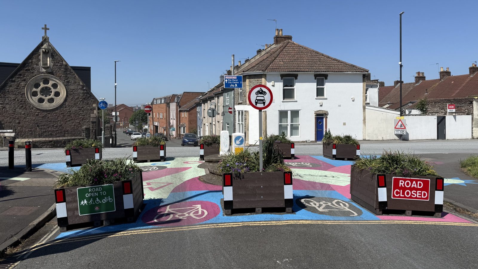
The Bristol City Council-commissioned report from transport consultants SYSTRA found that bollards, planters and bus gates installed in St George, Redfield and Barton Hill have markedly reduced the number of cars driving along residential roads.
is needed now More than ever
But journey times by car have become longer along several routes within the neighbourhood.
On weekdays, traffic at the junction of Blackswarth Road and Fireclay Road increased by 12 per cent, and on Great Western Lane by 288 per cent.
On weekends, traffic at the same junction increased by 11 per cent, and on Great Western Lane by 112 per cent.
The monitoring report said: “There has been a significant decrease in motorised vehicle traffic across most internal roads within the EBLN area.
“These findings indicate that the East Bristol Liveable Neighbourhood trial scheme is delivering on its objective of reducing motorised vehicle traffic on internal roads without widespread detrimental impacts on external roads.”
The monitoring report also found that journey times by car increased on Blackswarth Road by 80 per cent and on St Philips Causeway by 42 per cent.
These two routes are now used more by drivers because of the bollards, planters and bus gates than before the scheme.
Car journey times also increased on Chalks Road, Crews Hole Road and Troopers Hill Road.

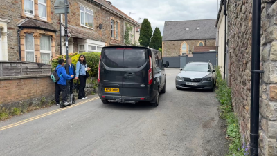
The bus gate on Marsh Lane in Barton Hill is due to be completely removed – photo: Martin Booth
The increase in traffic on Great Western Lane, which runs past the Tawfiq Masjid and Centre, could mostly disappear soon.
The council is planning to remove a bus gate on Marsh Lane in Barton Hill, which would prevent the need for drivers to cut through Great Western Lane instead. Data also suggests there were fewer vans and lorries driving through the area as well.
More people walked and cycled through the neighbourhood too; with cycling trips doubling on Lincoln Street and Beaufort Road during the week.
The Wesley Way Cycleway also saw an increase. This is a main east-to-west cycling route, running along Beaufort Road, Pile Marsh and Victoria Avenue, and has benefited from sharing the road with fewer cars, vans and lorries.
Some streets saw fewer cyclists, such as on Church Road, Avonvale Road and Great Western Lane.
Most roads within the scheme saw higher numbers of pedestrians, particularly on Ducie Street, Lincoln Street and Netham Lane. There were fewer pedestrians on Great Western Lane, Barton Hill Road and Avonvale Road.
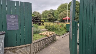
Main photo: Martin Booth
Read next:
 Our newsletters emailed directly to you