News / maps
New map highlights how best to explore Bristol’s green spaces
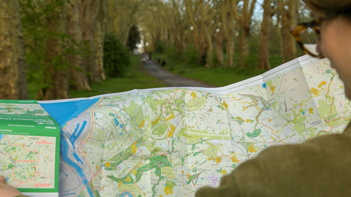
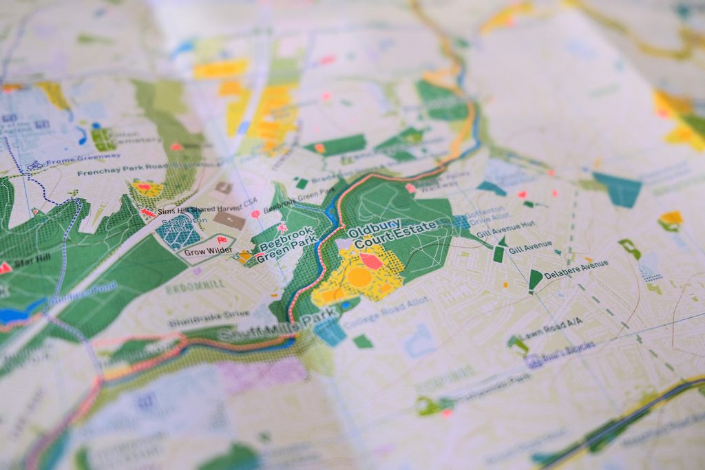
A new map captures Bristol not just as a place “but as a living system shaped by people, wildlife, history and everyday use”.
Bristol Urban Nature Map invites residents “to explore the city through its parks, rivers, woodlands and open spaces and also through its stories, hidden details and everyday encounters with nature”.
The map highlights both green and blue spaces including parks, nature reserves, walking routes, viewpoints, city farms, skate parks and sports pitches.
is needed now More than ever
The reverse of the map features an illustrated atlas filled with ideas, prompts and discoveries as part of a project supported by more than 300 people who contributed to a successful crowdfunder to help bring the map to life.
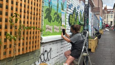
Free copies of the map are being sent to every school and library in Bristol – photo: Charlie Peel
Urban Good map maker Charlie Peel said: “This map isn’t just about where things are; it’s about what you can do.
“Climb somewhere new, follow a river, visit a city farm or just take a different route home.
“The aim is to spark curiosity and help people notice more of what’s already around them.”
Bristol Urban Nature Map is available to buy for £10 from Bristol bookshops or online via www.urbangood.org/products/bristol-urban-nature-map
Main photo: Peter Brooks
Read next:
 Our newsletters emailed directly to you