News / Development
Masterplan shows how 2,000 new homes could transform industrial area
Bristol City Council has endorsed the masterplan for Atlas Place, where three separate giant new housing developments are planned, establishing a new neighbourhood.
The area is located off the top of Lodge Causeway in Fishponds, around Goodneston Road.
A ‘vision strategy framework’ was approved by councillors on the economy & skills policy committee on Monday but there is a lack of detail about the impact on healthcare and traffic, and no restrictions on the height of new buildings.
is needed now More than ever
The council’s head of planning, Simone Wilding, said: “It’s more important to consider the quality of the public realm and living conditions being created, rather than specific numbers around density or storeys.
“The difficulty with such numbers is that you can get very hung up on them.
“Ultimately they don’t have that much meaning in terms of the quality of the place being created.”
Local residents are concerned about a lack of doctors or dentist surgeries in the area, with thousands of new residents adding to demand on already stretched healthcare services.
While the council is “often in discussion” with the region’s NHS bosses, providing new surgeries alongside building homes has regularly been a sticking point recently, due to a row about funding them.
Another complaint is the traffic in the area, with double parking narrowing the roads and creating pinch points.
However, the site is next to the Bristol & Bath Railway Path and the three separate planning applications include transport upgrades too.
So in theory, some future residents of the new homes will choose not to own a car and drive.
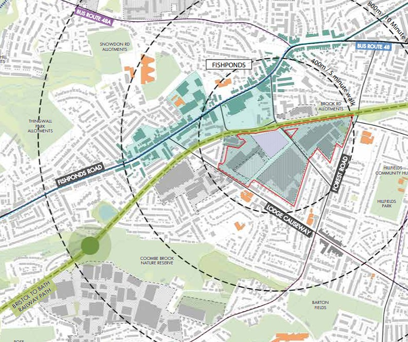
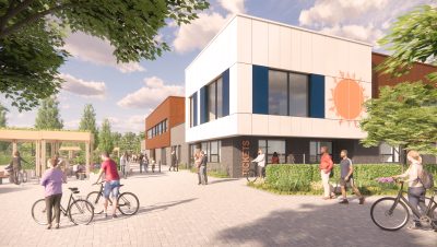
The Atlas Place framework guides development across three brownfield sites south of Hockey’s Lane and New Station Way, with three developers collaborating “to ensure a cohesive and well-planned transformation” – image: MOOWD
Lori Streich, from Fishponds Community Planning Group, said: “Over the last three years we have carried out extensive surveys among residents in Fishponds, and we’re confident there is overall support for the developments.
“But new housing, especially at the scale proposed for the three Atlas Place sites, must meet the needs of both current and future residents in Fishponds.”
One of the three sites already has planning permission: the former Graphic Packaging factory on Fishponds Road, where councillors voted to permit 252 new homes in December 2024.
Most of the homes will be between two and three storeys, with some flats in four-storey buildings.
But the other two sites do not yet have planning permission: Castel Ltd site on Goodneston Road where 1,600 homes are planned, and Central Fishponds Ltd site including the industrial buildings north of Filwood Road around Verona House, where 380 homes are planned.
A masterplan would guide developers on issues such as height, design and transport.
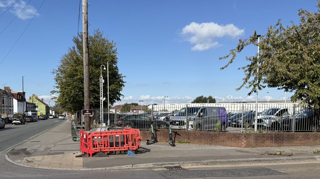
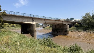
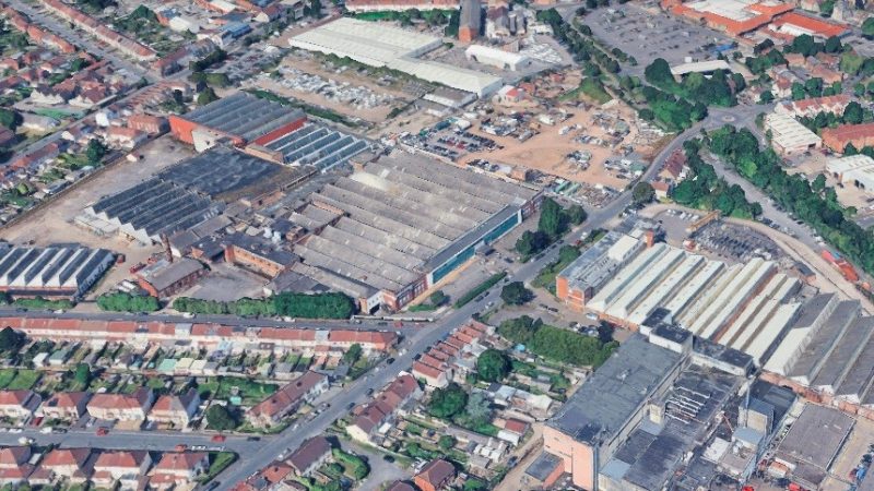
The area set for development as part of the Atlas Place plan is located off the top of Lodge Causeway, around Goodneston Road – photo: Martin Booth
Another factor is Bristol’s new Local Plan. This is an important and wide-ranging document setting out how the city should develop over the next several years, and includes which areas should be earmarked for lots of new homes, such as Atlas Place.
This is being examined by the government, and is expected to come into force in summer or early autumn.
Central Fishponds was included in the Local Plan because of its many shops, good cycling and bus links, and ‘under-utilised’ buildings taking up a lot of space.
But a lingering question is whether the lack of detail in the masterplan was due to the fact that it was written by consultants employed by the three landowners. Elsewhere, the council has itself drawn up masterplans.
Green councillor Toby Wells said there are “a lot of things” that local residents “are validly concerned about”.
Wells said: “I wonder if that’s partly because this document is quite limited and high-level, but perhaps even more so in this case because it’s a bit of a special case.
“It’s been produced by the developers rather than the council, as a coalition.”
The masterplan includes hopes for ‘bio-routes for people’, ‘neighbourhood hearts’ and ‘frequent pockets for people’.
There is also guidance on architecture, which aims to acknowledge the style and appearance of the wider area, such as red bricks and sawtooth roofs.
A ‘green spine’ could run along Goodneston Road, with new shops and several trees planted.
Main image: Google Earth
Read next:
 Our newsletters emailed directly to you